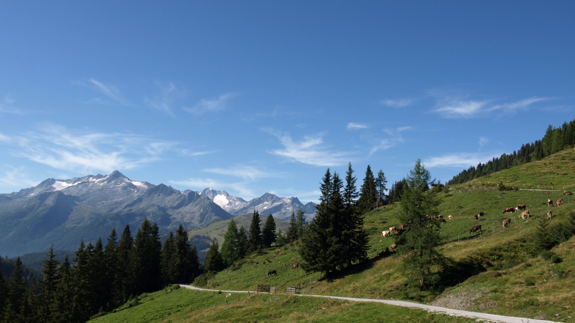
Mountain tours On our mountain tours we go up to the mountain peaks. Sometimes up to 3,000 m high. You will definitely need a 40 l backpack, poles, warm clothes and provisions. Above all enough to drink. A small selection: .
Salzachgeier 2.466 m
Requirement: demanding mountain hike
Duration: 6-7 hours
Altitude difference: 934 m
The tour starts at the parking lot Salzachtal The path goes first on forest road, past the Salzachütte. There you can change to a nice hiking trail. Up to the beginning of the Salzachalm you can also start by bike.
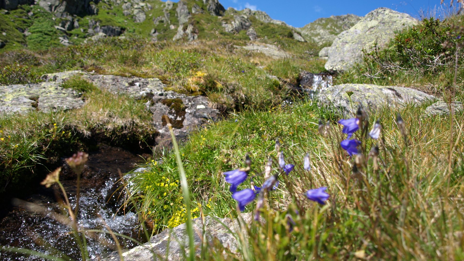
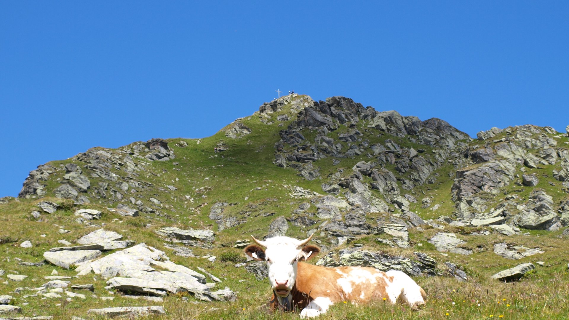
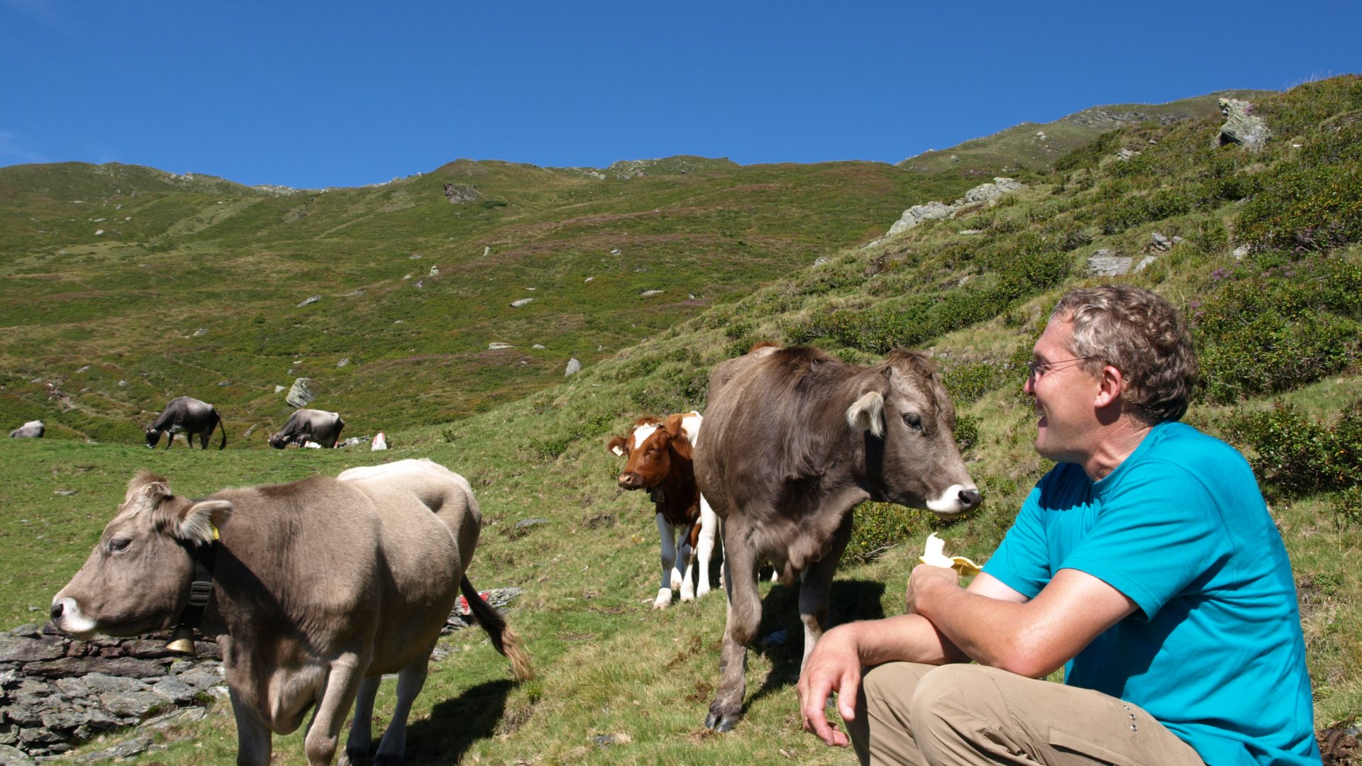
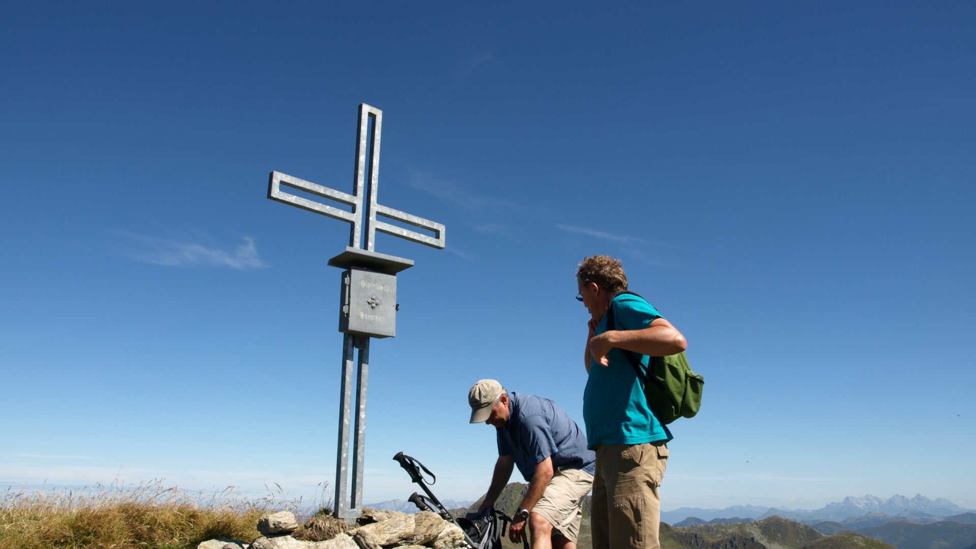
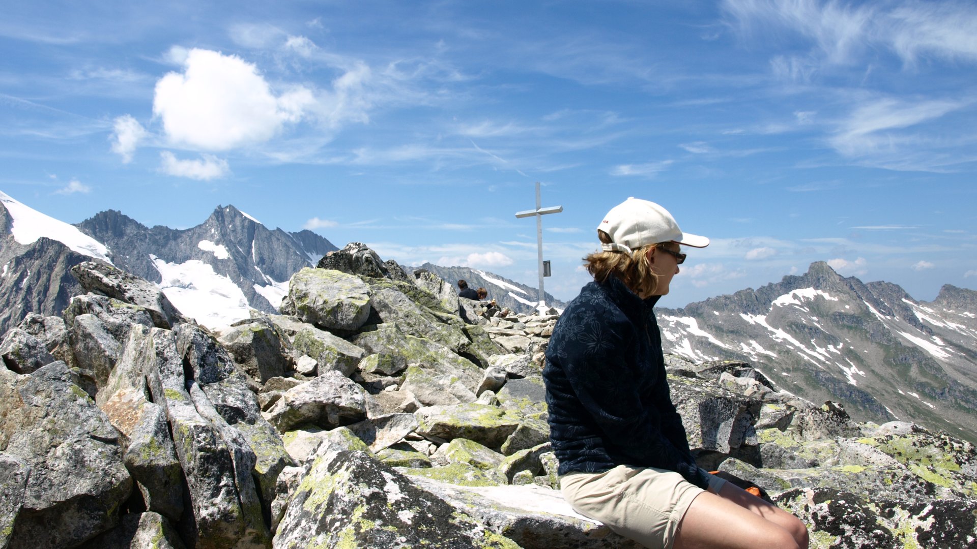
At the Salzachalm you can take a break. There is a large wayside cross, next to which a bench invites you to linger, with a magnificent view of the Hohe Tauern. We continue and shortly below the Salzachjoch the signpost then points in the direction of the Salzachgeier. Only here the real ascent begins. We hike here in the headwaters of the Salzach. There is the so-called "Quellenweg", where you can learn more about water at various stations. At the main spring we take another break and fortify ourselves with fresh spring water. It goes high up and still we meet sheep and cows up here. One cow is even mooing down from the summit! The last part to the summit wears us out. It is steep and the path is narrow. Here you have to be free of giddiness. But the view at the summit is overwhelmingly beautiful. Satisfied, we enjoy the panoramic view. The descent is then comfortable and we are already looking forward to a hearty hut snack in the snack station Salzachjoch,
Conclusion: A beautiful mountain tour, strenuous but very rewarding with the best spring water from the source of the Salzach.
3 Summit tour
Requirement: demanding circular hike
Duration: 6-7 hours
Difference in altitude: 1.050 m
We start in Ronach and first walk along a forest path past some alpine pastures. At the old Priel Hochalm we take a break and enjoy the view of the reservoir and the Hohe Tauern. Then we continue on a pleasant hiking trail to our first summit, the Ronachgeier, 2,236 m high. After a small snack with a view of the Großvenediger, we continue on to the Baumgartgeier, 2,392 m. Here you hike along the ridge and look down into the Salzach valley on the left and into the Nadernach valley on the right. Then the marked path ends, but you can continue along the ridge without difficulty. Partly you can still recognize the old path. It is best to keep to the left of the ridge. It is not dangerous, but surefootedness is an advantage. After a total of about 3.5 h we reach our last summit, the Tristkopf, 2,359 m high. Here we take a lunch break and enjoy views to the Wilder Kaiser, the Zillertal or even to South Tyrol. Then descend to the Nadernachjoch and then to the Salzachjoch. Here is a small chapel, the Markkirchel, right on the border of Salzburg and Tyrol. Continue downhill through the headwaters of the Salzach, very idyllic. You usually meet some herds of goats and cows that spend their alpine summer here. Just in time we reach shortly before the end the snack station Salzachjoch, where we enjoy a wonderful Radler or also an apple juice spritzed. What could be better? If one wants still another homemade cranberry cake (blueberry) of the landlady Erika. With a wonderful view of the Reichenspitze and the Almdorf Königsleiten we enjoy the afternoon sun and return after another 40 min downhill to the starting point.
If you can manage an additional 1 hour, you can also go directly from Königsleiten.
Conclusion: A real mountain tour with the special feature that you can make 3 peaks. Perfect to stop at the snack station at the end of the hike.
Zittauer Hütte - Rosskopf
Requirement: demanding mountain tour
Duration: 7-8 hours
Altitude difference: 1.400m
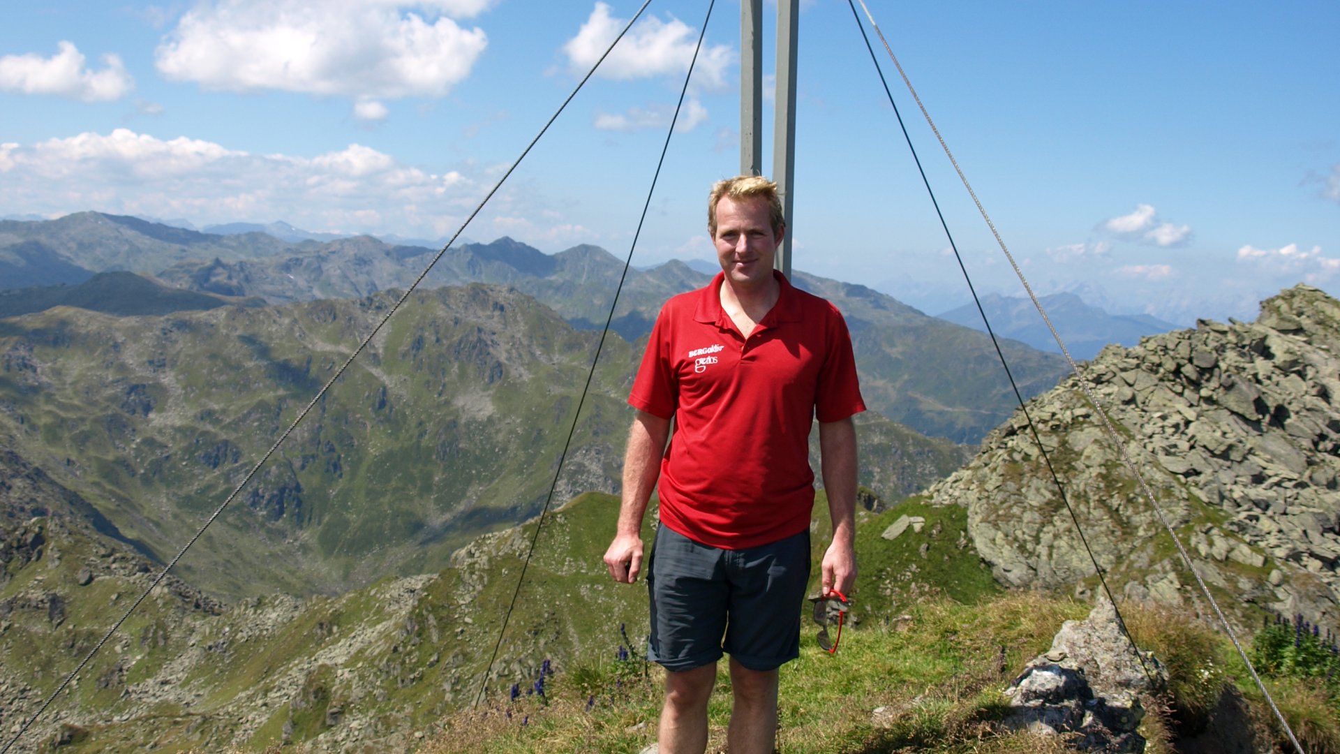
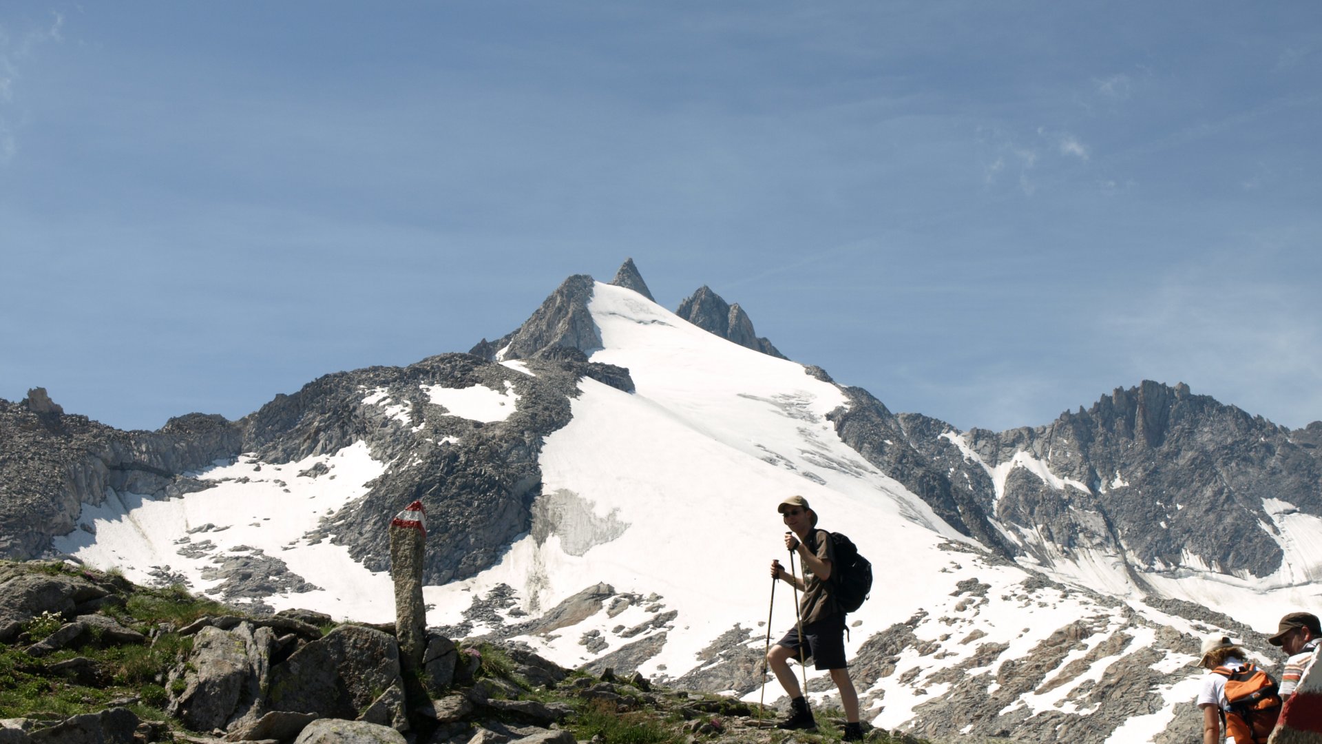
We start our tour at the Gasthof Finkau, in the Wildgerlostal. Parking fee approx. 3.- Right at the beginning the ascent is quite steep and leads through a piece of forest. However, the effort is rewarded, the natural jewel Leitenkammerklamm, which is developed with footbridges and lookout pulpits, awaits us. So you can stand in the middle of a gorge and experience the power of the Gerlosbach up close. Past the Trisslalm, a gravel path leads us into the Hohe Tauern National Park. A contemplative path, lined with old stone pines, huge boulders and rustic alpine pastures. After about 2 hours you arrive at the valley station of the Zittauer Hütte material cable car. There are benches and fresh spring water. Here begins the ascent to the Zittauer Hütte. This leads over the side moraine, towards a rock face. There, the Alpine Club has built a wonderful ascent through the rock face with steps and ropes. This is absolutely safe and takes only a short time. After about an hour you are at the Zittauer Hütte, at 2,328 meters. If you are already tired, you can linger in this idyllic spot. The really tough ones take a short breather and continue climbing in the direction of Rosskopf. We go around the lower and upper Wildgerlossee. At this altitude, warm clothing is often very welcome. The path is exemplary marked and after another 1.5 h you are at your destination. The summit of the 2,845 m high Rosskopf! What a breathtaking panorama. The view to the south shows us the splendor of the Hohe Tauern. After a short rest we make our way back to the hut. There a cool drink and the best curd strudel in the world, namely with blueberries, awaits us. On the terrace with a view of the lake and glacier, one would prefer to sit forever. But also coming back to the Finkau after about 2 h descent is nice. There, the thirsty hikers still awaits refreshment and you can end the day comfortably.
Conclusion: A real mountain tour that can only be done with a mountain guide and after a few days of acclimatization. Very varied and worthwhile.

Wildkarsee
Requirement: demanding mountain tour
Duration: 6-7 hours
Altitude difference: 900 m
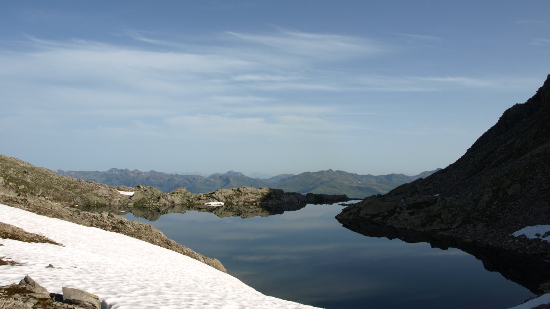
From the parking lot at the Plattenalm, 1,697 m, we start our tour. A draw path leads us past the Gletscherblickalm in the direction of Wildkar. At the Breitscharte, the path becomes narrower and more interesting. To the right, the view sweeps in the direction of Hanger and the reservoir. In front of us the Steinkar with its chamois. Along the Leitenkammersteig we reach the Wildkaralm, 1,962 m, after about 1.5 hrs. There we take a rest. Now our ascent begins. First over a wild alpine landscape with a few cows and sheep. Then along the glacier stream towards the lake. Here it's stonier and our condition is again really put to the test. Shortly before the Seekarscharte then the surprise. A wonderfully clear mountain lake at 2,500 m! Mostly snow lies on the shore until July. Brave jump before the snack still in the water - wonderfully refreshing. Now there are 2 variants: Either you take the same way back or you continue towards Krimml. However, this is not for the faint of heart - you have to descend 1,400 m! But the Krimml Waterfalls await you at the end. After refreshments at Gasthof Schönangerl, you can return by bus or cab.
Conclusion: A tour without summits, which nevertheless remains in everyone's memory. The "Herzerlsee" as the Wildkarsee is also called, is simply too beautiful and idyllic, you do not need a summit.